At Last, The Great North Bloomfield to Washington Run!
At Last, The Great North Bloomfield to Washington Run!
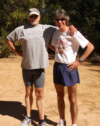
Conrack and I have been planning this “epic” run for almost 10 years, a wild 11 mile adventure from North Bloomfield (at the Malakoff Diggings) to Washington, California. Not many people make the effort to get on this section of the South Yuba Trail. We didn’t see evidence that it had been used all year. There’s some rough dirt road driving necessary and the trail is notorious for poison oak and rattlesnakes.
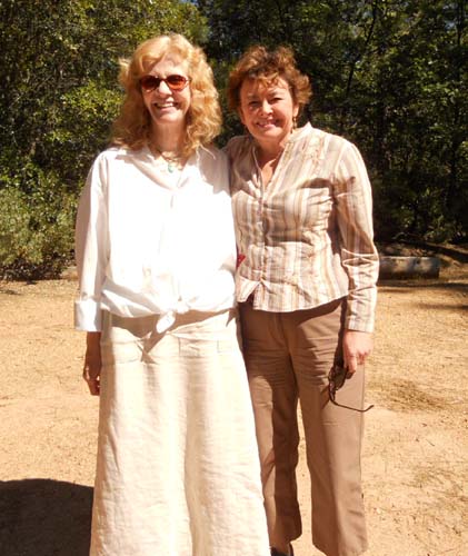
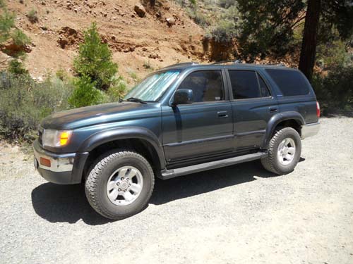
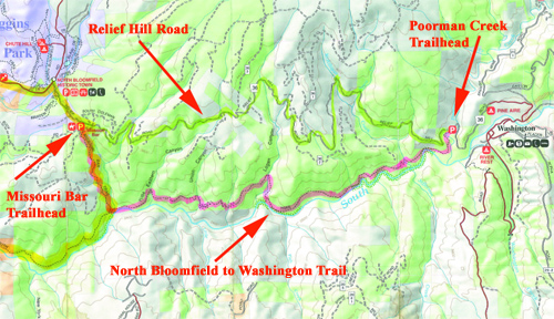
Ably assisted by two lovely babes, we parked my 4 Runner at the Poorman Creek trail head near Washington, and were ferried up bumpy, dusty Relief Hill Road to North Bloomfield, the historic town (if a half dozen buildings can be called a town) on the edge of the Malakoff Diggings State Park.
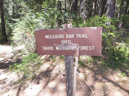
We found the Missouri Bar trail head just south of “town.”
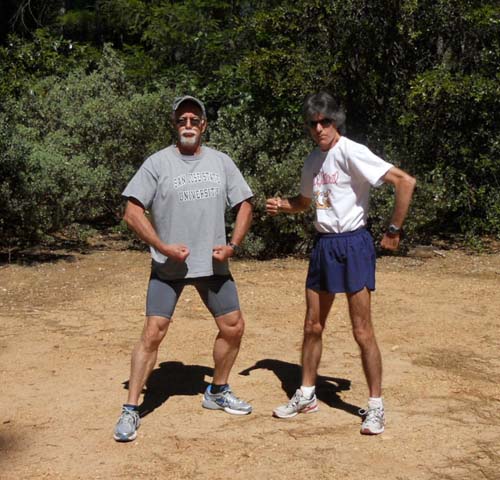
One final flex and pose to demonstrate our manliness, and we were off . . .
The Missouri Bar trail is a short downhill sprint for a mile and a half.
The Missouri Bar trail intersects the South Yuba River at . . . you guessed it . . . Missouri Bar.
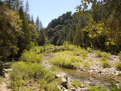
Turn left, or East if you prefer, and head upstream along the north side of the Yuba. Around here, we poetic folks call this river “the soul of Nevada County.”
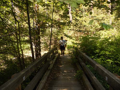
In just a couple of minutes you will come to a pretty little bridge across a creek. From here to the end, it gets wild all the way back to the car, about 10 miles.
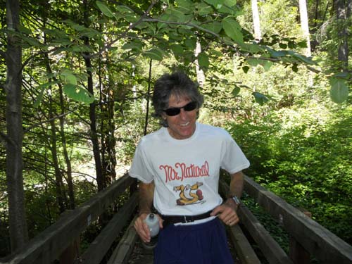
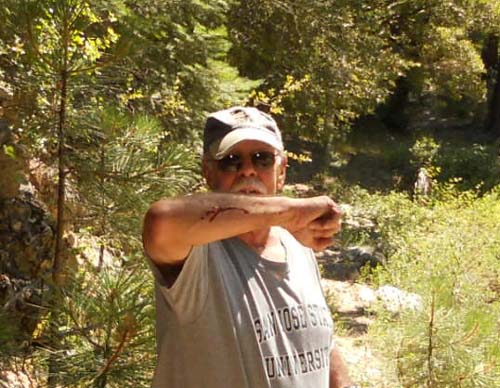
I took one step backwards to frame this closeup of Conrack . . . and fell off the damn bridge.
Because this was a brand new trail to both of us, it required a blood sacrifice, I suppose, to propitiate the trail gods. I obliged.
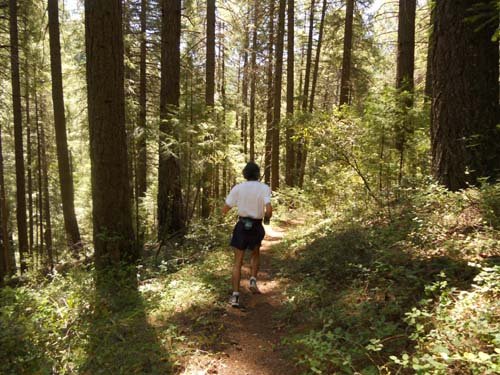
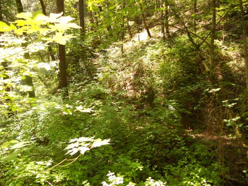
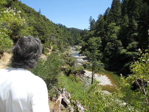
This North Bloomfield to Washington trail passes through large stretches of dense forest . . .
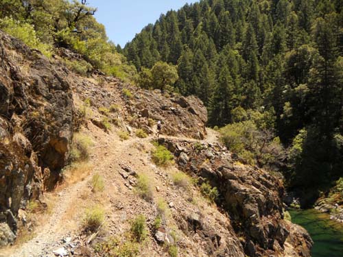
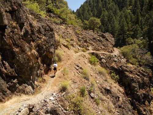
As well as the more exposed canyon-wall trails you expect from this country.
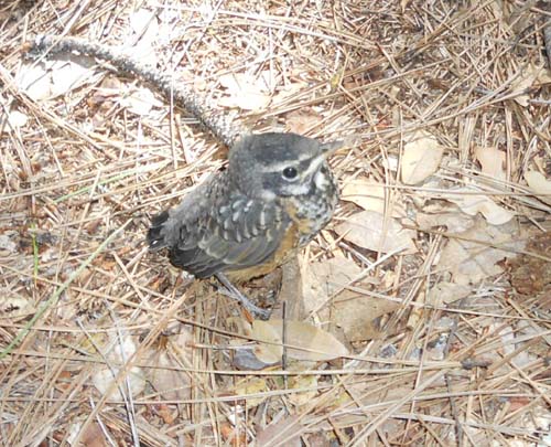
We didn’t see much wild life on this adventure, just one little guy sitting very still in the middle of the path . . .
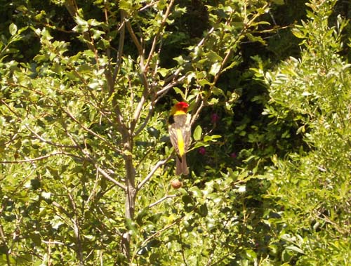
And this cheeky western tanager who showed no fear of us.
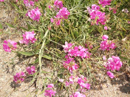
There were a few wildflowers still showing off, and plenty of butterflies I couldn’t quite get close enough to for a photo.
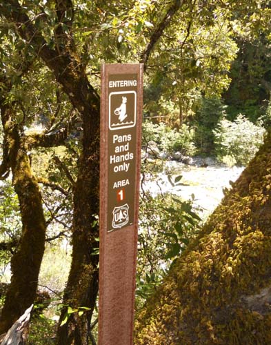
On this remote trail there are few signs of human activity. This is the only sign.
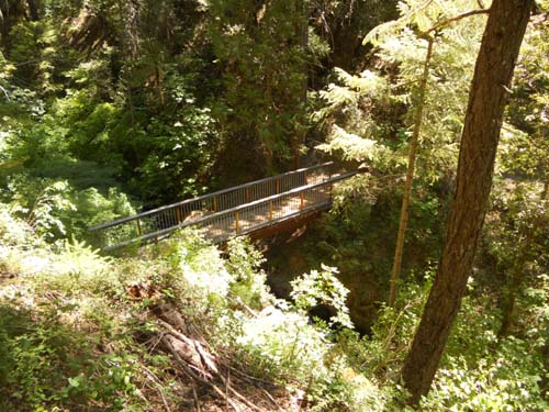
There are 5 or 6 handsomely-constructed bridges . . .
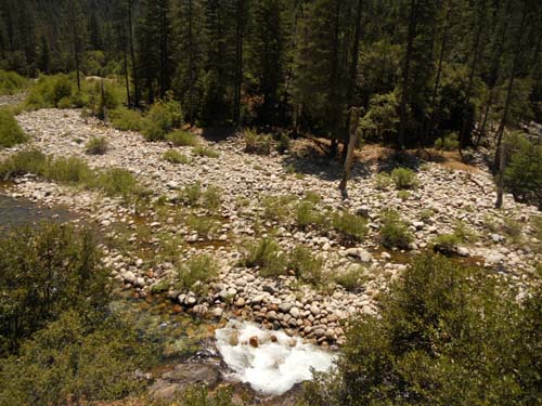
a boulder field left over from the mining depradations of the gold rush . . .
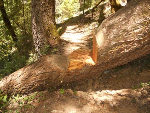
and this inexplicable art work we called “Fun with Chain Saw.”
Though most of the trail is up and away from the river, during the last couple of miles you will wind back down toward the blessed sights of the Yuba . . .
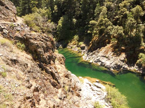
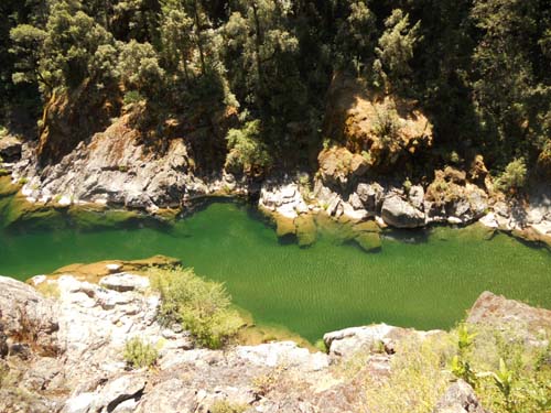
where you can find numerous swimming holes
and one or two sublime upstream vistas.
The run is strenuous, in fact one guidebook rated it “most difficult.” It’s not that hard, though there is one stretch between 4 and 6 miles into the run where thirteen(!) switchbacks take you up, up, up a grueling 600 feet. I’ve run tougher hills, but this “hump” will definitely get your attention. By the time Conrack and I finished the run, you can bet we were happy to see this final, beautiful sight.
Here’s the map.
If you enjoyed reading this article, and want to find out more,
just CALL CJ at (530-906-4715) or subscribe below.
Stay Informed
Get the latest posts delivered direct to your email

